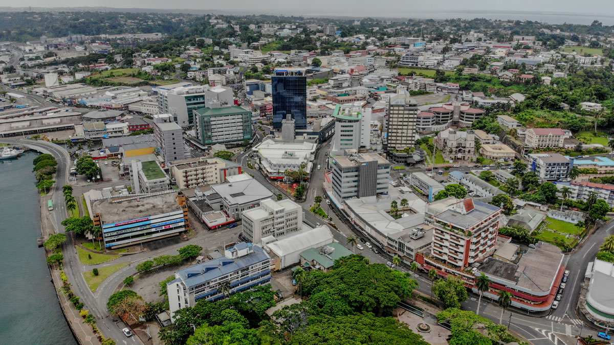
People in the Northern parts of the country are now being asked to brace themselves for strong winds and heavy rain throughout the evening.
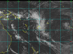
Director Nadi Weather Office, Rajendra Prasad reveals that Tropical Cyclone Mick is a category 1 tropical cyclone that is expected to bring about strong winds that might travel at about 70 km an hour. However, Prasad says that knowing that Cyclone Mick may change course at any time, people should not be complacent if they do not experience strong winds, adding that the system may intensify overnight.
Based on its current path, Tropical Cyclone Mick is expected to directly affect Fiji causing at least damaging gale force winds and torrential rain. At the moment, Prasad says the Tropical Cyclone is located North West of the country just 450km of Labasa and is moving south east at a speed of 15-20kilometres an hour.
The system is expected to see strong gale force winds within a radius from 200km an hour near the centre and the National Disaster centre is asking the public to start taking precautionary measures now and start putting up hurricane shutters and move to higher ground.
Meanwhile, National Disaster Centre Acting Director, Pajiliai says they have activated their emergency evacuation centres for communities in the Western and Northern Division for communities that may need them.
Dobui says the public should consider moving as it is not known at this stage what route Tropical Cyclone Mick will take.
Stay with us for more updates.