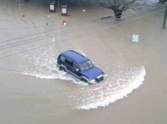
As predicted, a second tropical depression is approaching Fiji from the west near Vanuatu.
This new depression has intensified overnight and there is a moderate to high risk that this tropical depression will intensify into a tropical cyclone late today or tonight.
As it approaches Fiji, it will slow down and turn more southerly, and is expected to stay west of us without actually making landfall in Fiji.
Na Draki Weather said the system will stay close enough to Western Fiji to bring strong gusty winds later today and tonight to the West, including the Mamanucas, Yasawas and Western Viti Levu and nearby islands.
Flooding is expected.
Another weak low is forecast to move close to Fiji on Friday and will reinforce the rain and maintain occasional heavy falls through to Saturday.
There is no sign of any significant clearance of rain until the end of the weekend at the earliest.
The Nadi Weather Office said a strong wind warning remains in force for Yasawa and Mamanuca, Western Viti Levu and nearby smaller islands.
Elsewhere, moderate to fresh northerly winds, gusty at times.
Periods of rain, heavy at times and squally thunderstorms.
Meanwhile the first tropical depression remains to the West Southwest of Nadi today.
It is expected to move towards the South-West away from the group.
It is not expected to intensify into a Tropical Cyclone but the current weather conditions being experienced are from the first system.
Story by: Vijay Narayan and Ronal Deo
Second tropical depression approaches Fiji
Related Stories

We are committed to holding elections – Siromi Turaga
Questions were raised during Dialogue Fiji’s Constitution review discussion on whether the government can delay the general elections and complete the Constitution review however Acting Attorney General Siromi Turaga
Fijian economy on track to grow for fourth consecutive year in 2025 by 3.4%
The Fijian economy is on track to grow for the fourth consecutive year in 2025 by 3.4 percent, following a 3.5 percent expansion in 2024. The growth forecast is revised up marginally from the 3.2 percent projected

Heavy Rain Alert for Eastern Viti Levu, Southern Bua, Cakaudrove, Taveuni and maritime areas
A heavy rain alert is now in force for the eastern half of Viti Levu (Navua–Suva–Nausori to Serua–Namosi to Tailevu–Naitasiri–Ra areas), southern Bua, Cakaudrove, Taveuni and nearby smaller islands, the Lau an

We need to dismantle criminal enterprises, hitting them where it hurts most - Speaker
Speaker of Parliament, Filimone Jitoko has highlighted during the opening of the Office of the Director of Public Prosecutions Conference that there is a need for prosecutors in the country to master the digital frontie

Fiji has learned from its past and we know that restricting media engagement or access is not the answer - Tabuya
At all times, the public interest in accessing information and the media’s role in scrutinising government must outweigh any unilateral power to silence or sideline a news outlet. In Fiji, we uphold the principle that
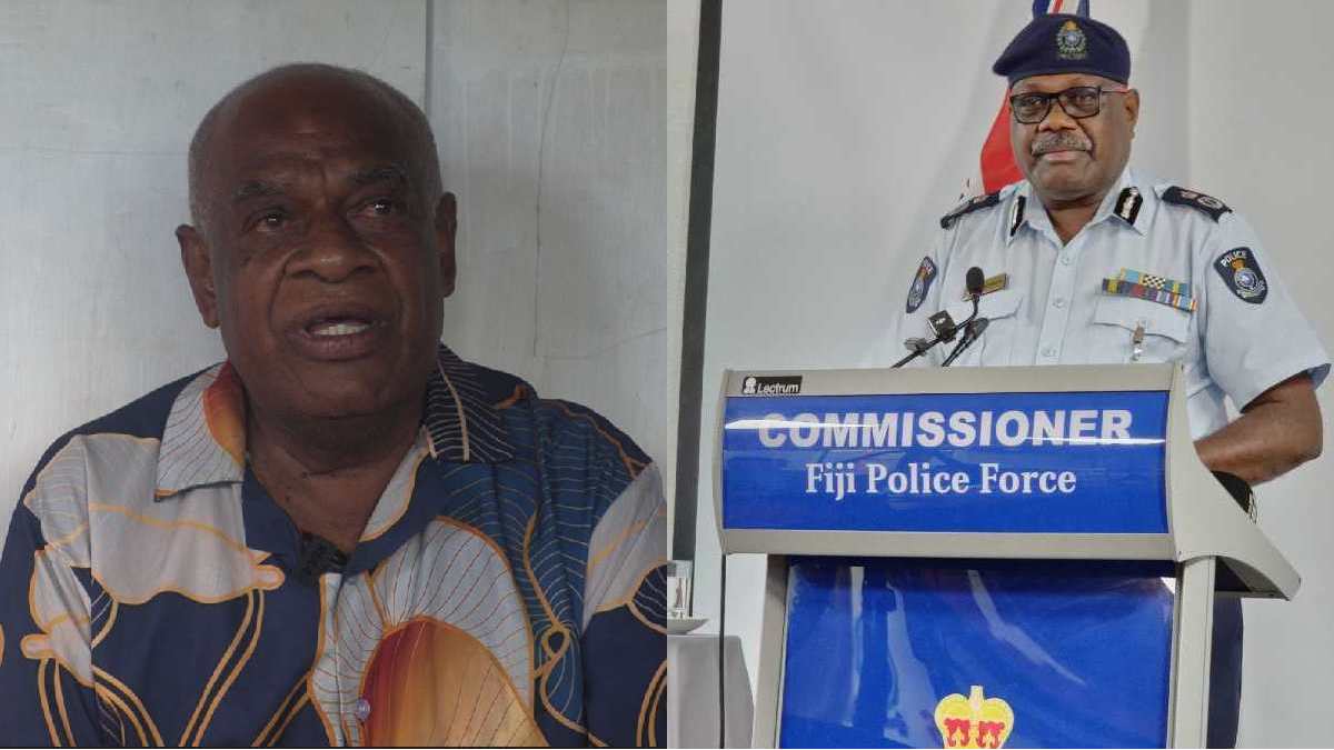
Wailea resident raises concerns about drug issues raised countless times with Police while COMPOL says official complaint must be lodged
Wailea Settlement Community leader, Inoke Utona says he has raised the issue of drug use and dealing in their area countless times with the authorities but there has still been no response from Police. However when