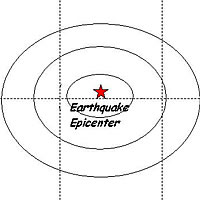
An earthquake measuring 3.5 on the richter scale was recorded in the Monasavu area at 9:46 this morning.
Permanent Secretary for Lands and Mineral Resources Lieutenant Colonel Neumi Leweni confirmed that the quake was located about 20km Northwest of Monasavu Dam and originated at a depth of 38.0 km below the surface and it measured 3.5 on the Richter scale.
No reports have been received so far on from the respective areas close to the earthquake source on whether they felt the quake due to its small size.
Lieutenant Colonel Leweni said attempts made to FEA Monasavu landline and areas close to the epicenter of the quake proved futile.
People who felt the earthquake and wish to give more information are requested to contact the Mineral Resources Department.
Minor earthquake occurs near Monasavu
Related Stories
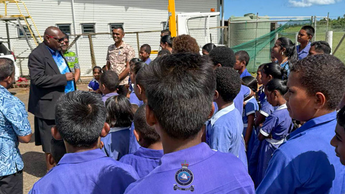
COMPOL urges Lagalaga Sanatan students to value discipline and education
Students of Lagalaga Sanatan Primary School in Labasa have been reminded of the importance of education, discipline and obedience by the Commissioner of Police Rusiate Tudravu. Tudravu spoke to the students during

Heavy Rain Alert remains for Viti Levu, Southern Bua, Cakaudrove, Lau and Lomaiviti Groups
A Heavy Rain Alert remains in force for the Eastern half of Viti Levu from Serua, Namosi through Navua, Suva, Nausori, Tailevu, Naitasiri, Ra, Southern Bua, Cakaudrove, Taveuni, Kadavu, Lau and Lomaiviti Groups and near
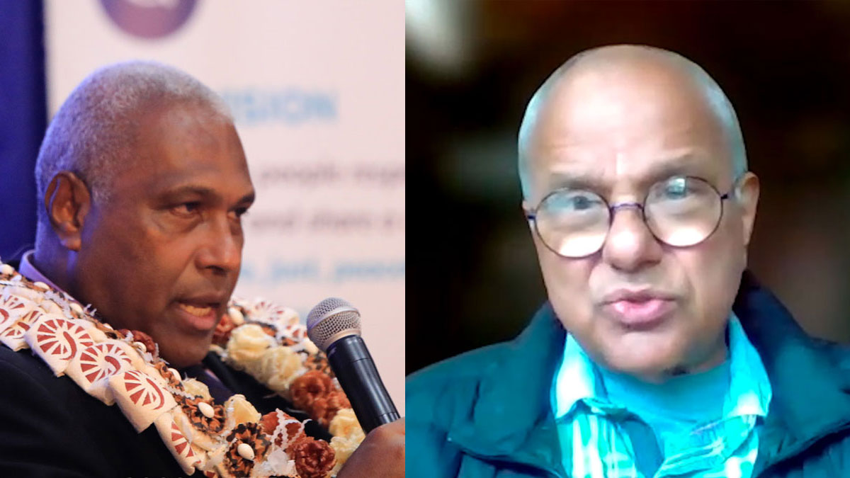
Warning letter written to Prof. Narsey – Acting AG
Acting Attorney General Siromi Turaga says a strong warning letter has been written to Electoral Reform Commissioner Professor Wadan Narsey after he came out publicly with the Electoral Reform Commission report recommen

3 Fijian men from KVT gang in Sydney denied bail for AUD$12.5M drugs case
Three Fijians who are alleged to be associated with a gang supplying drugs in Sydney have been refused bail by the court. 28-year-old Eparama Nevale, 28-year-old William Ravoka, and 24-year-old George Sukanaivalu,
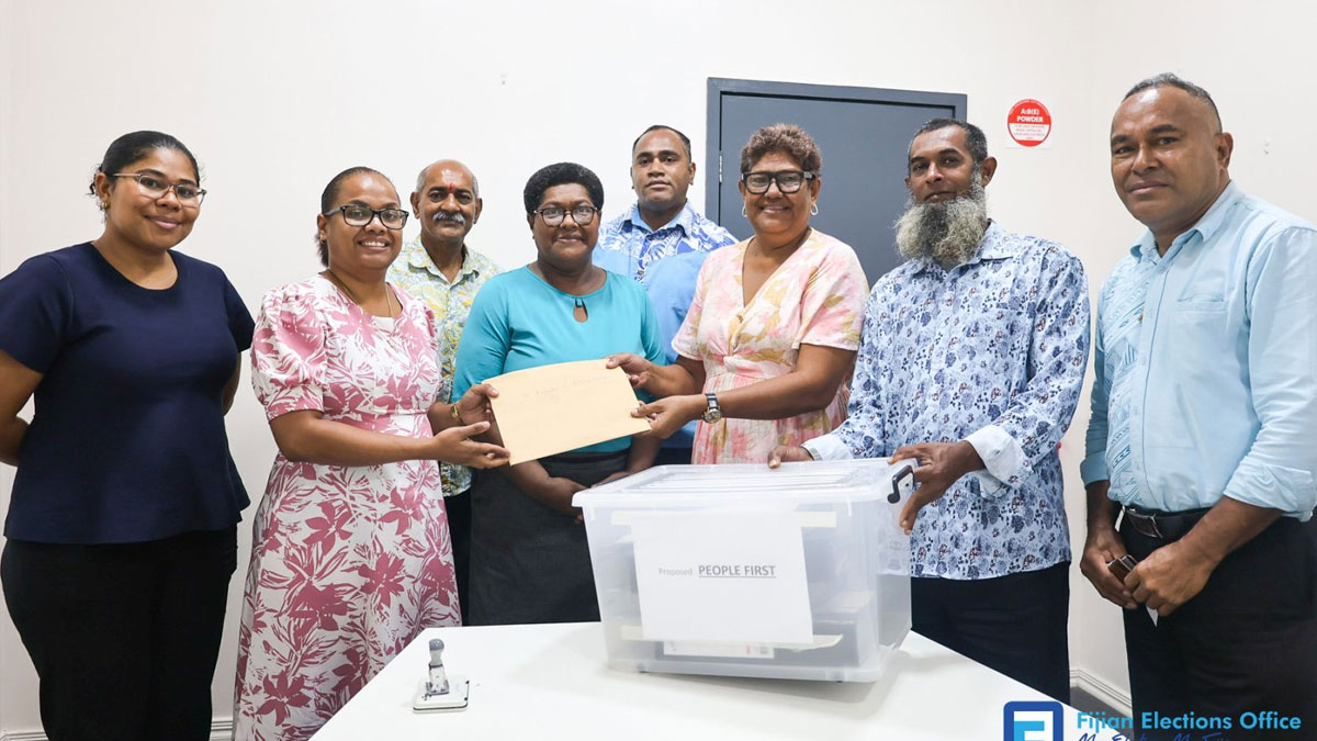
Proposed ‘People First’ submits application for registration
The Proposed ‘People First’ has submitted its application for registration to the Registrar of Political Parties, Ana Mataiciwa. Mataiciwa confirms that the FEO is now preparing to publish the party’s applica
Visitor arrivals on track for record year while sugar output drops
Visitor arrivals have recovered following a decline in the first quarter and based on current trends, Fiji is on track to achieve a third consecutive year of record visitor arrivals in 2025. While speaking on the p